Europe Map - Netherlands
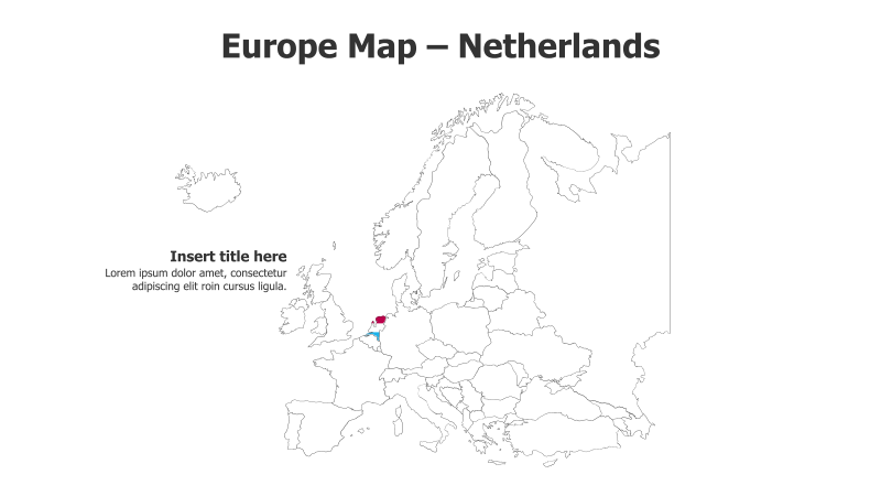
This slide template features a map of Europe with the Netherlands highlighted in red. It provides a clear geographical context for presentations.
Layout & Structure:
- The slide displays a detailed outline map of Europe.
- The Netherlands is prominently highlighted with a red fill.
- There is space for a title and supporting text on the left side of the slide.
- The overall structure is simple and focuses on geographical representation.
Style:
- The map uses a clean, minimalist line drawing style.
- The color palette is limited to black, white, and red, creating a professional look.
- The design is straightforward and avoids excessive visual effects.
Use Cases:
- Presenting information related to the Netherlands.
- Illustrating European geography in educational settings.
- Highlighting business operations or market presence in the Netherlands.
- Demonstrating logistical routes or transportation networks.
- Geopolitical analysis and presentations.
Key Features:
- Clear and concise geographical representation.
- Easy to understand and visually appealing.
- Fully customizable map and text elements.
- Suitable for a wide range of presentation topics.
Tags:
europemapnetherlandsgeographylocationcountryhighlightpoliticaltravelbusinesspresentationoutlineredminimalist
Ready to Get Started?
Impress your audience and streamline your workflow with GraphiSlides!
Install Free Add-onNo credit card required for free plan.