Africa Map - Tanzania
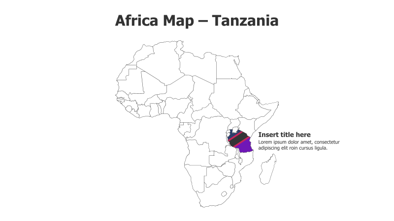
This slide template features a map of Africa with Tanzania highlighted and its flag displayed. It's designed for presentations focusing on the country or its regional context.
Layout & Structure:
- The slide prominently displays a simplified outline map of the African continent.
- Tanzania is clearly highlighted within the map, with its flag positioned nearby.
- A text placeholder is provided on the right side for adding a title and supporting content.
Style:
- The map uses a clean, minimalist line drawing style.
- The color palette is simple, with a white background and black map outlines.
- The Tanzanian flag adds a touch of color and national identity.
Use Cases:
- Presenting information about Tanzania's geography, demographics, or economy.
- Illustrating regional context within Africa.
- Highlighting business opportunities or projects in Tanzania.
- Educational presentations about African countries.
Key Features:
- Visually engaging map illustration.
- Clear highlighting of Tanzania.
- Easy-to-customize text placeholder.
- Professional and clean design.
Tags:
africatanzaniamapgeographycountryflagregionalpresentationbusinesseducation
Ready to Get Started?
Impress your audience and streamline your workflow with GraphiSlides!
Install Free Add-onNo credit card required for free plan.