Africa Map – Swaziland
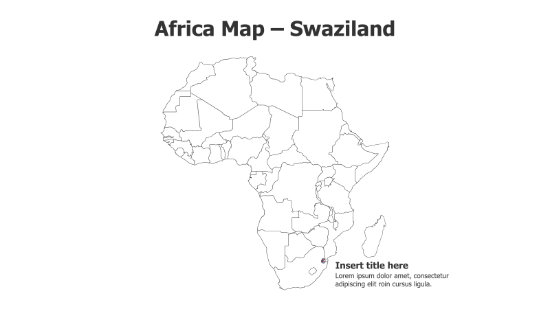
This slide features a map of Africa with Swaziland (Eswatini) highlighted in red. It's designed for presentations focusing on African geography, regional studies, or specific projects within Swaziland.
Layout & Structure:
- The slide prominently displays a simplified outline map of the African continent.
- Swaziland is clearly marked with a red fill, drawing attention to its location.
- A text box is provided on the right side for inserting a title and supporting text.
- The slide has a clean, uncluttered layout.
Style:
- The map uses a minimalist, line-art style with no gradients or shadows.
- The color scheme is simple: black lines on a white background with a red highlight.
- The overall aesthetic is professional and straightforward.
Use Cases:
- Presenting information about Swaziland's geography, economy, or culture.
- Illustrating regional context for projects or initiatives in Southern Africa.
- Educational presentations on African countries.
- Business presentations targeting the Swaziland market.
Key Features:
- Clear and concise visual representation of Africa and Swaziland.
- Easy to customize with your own text and information.
- Simple and professional design.
- Visually highlights a specific country within the African continent.
Tags:
africamapswazilandeswatinigeographyregionallocationcountrycontinenthighlightminimalistpresentationeducationbusiness
Ready to Get Started?
Impress your audience and streamline your workflow with GraphiSlides!
Install Free Add-onNo credit card required for free plan.