Africa Map - Algeria
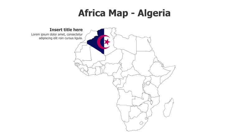
This slide template features a map of Africa with Algeria highlighted. It's designed for presentations focusing on Algeria or North African regional contexts.
Layout & Structure:
- The slide displays a political map of Africa with Algeria prominently highlighted in blue and featuring its national flag.
- The map is the central visual element, with space for a title and supporting text on the left.
- The layout is simple and direct, emphasizing geographical location.
Style:
- The template uses a clean, minimalist style with a white background and black outlines for the map.
- The color scheme is straightforward, using blue for Algeria and black for borders.
- The overall aesthetic is professional and informative.
Use Cases:
- Presenting information about Algeria's geography, demographics, or economy.
- Illustrating regional context within North Africa.
- Highlighting Algeria's location in relation to other African countries.
- Use in presentations about international relations or trade.
Key Features:
- Clear and concise map visualization.
- Easy to customize with specific data or information.
- Professional and clean design.
- Visually engaging way to represent Algeria's location.
Tags:
africaalgeriamapgeographynorth africapolitical mapflaglocationregionalpresentationtemplate
Ready to Get Started?
Impress your audience and streamline your workflow with GraphiSlides!
Install Free Add-onNo credit card required for free plan.