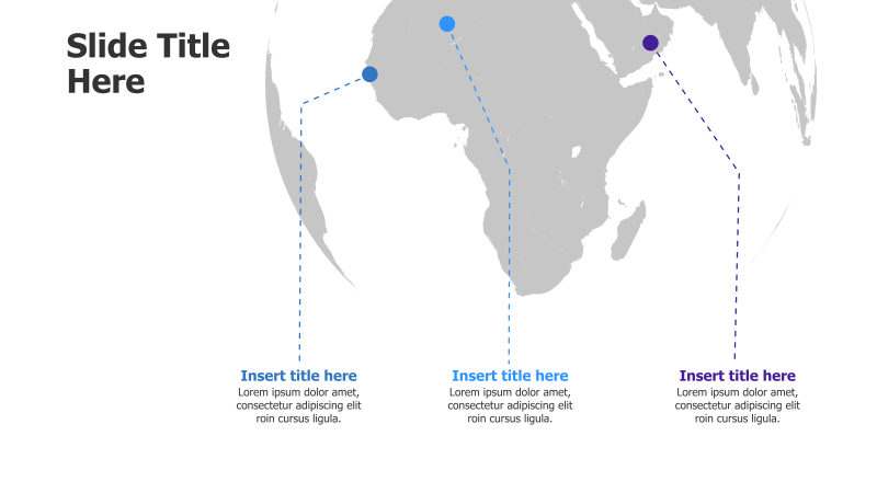
3-Point Africa Map Infographic
This template features a map of Africa with three highlighted points connected by dashed lines. It's ideal for showcasing regional data or strategic locations.
Layout & Structure:
- The template utilizes a map of Africa as the central visual element.
- Three distinct points are marked on the map with circular markers.
- Dashed lines connect each point to a corresponding text box below, creating a clear association.
- The layout is designed for a straightforward presentation of three key areas or concepts.
Style:
- The map is rendered in a muted gray color scheme, providing a professional and understated background.
- The circular markers and dashed lines are in a contrasting blue, drawing attention to the highlighted points.
- The overall aesthetic is clean and modern, suitable for a variety of business and educational presentations.
Use Cases:
- Presenting regional sales data or market analysis for Africa.
- Highlighting key operational locations or project sites.
- Illustrating the geographic scope of a business or organization.
- Showcasing three strategic initiatives or areas of focus within Africa.
- Demonstrating the impact of a project across different African regions.
Key Features:
- Fully editable map and text boxes.
- Clear visual connection between points and descriptions.
- Professional and modern design.
- Easy to customize with your own data and branding.
Tags:
africamapinfographic3 pointsregionallocationstrategybusinessdatapresentationmarketing
Ready to Get Started?
Impress your audience and streamline your workflow with GraphiSlides!
Install Free Add-onNo credit card required for free plan.