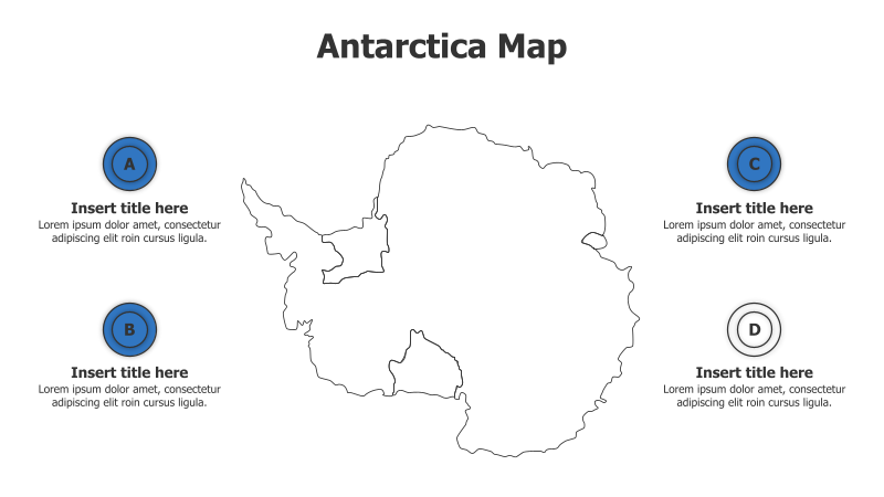
4 Points Outline Antarctica Map Infographic
This template features an outline map of Antarctica with four labeled points for highlighting specific regions or data.
Layout & Structure:
- The template centers around a simplified outline of the Antarctic continent.
- Four circular callouts (labeled A, B, C, and D) are positioned around the map, providing space for titles and descriptions.
- The layout is clean and straightforward, ideal for presenting geographically-focused information.
Style:
- The design employs a minimalist aesthetic with a light blue background and a simple black outline of Antarctica.
- The circular callouts use a consistent blue color scheme.
- The overall style is professional and informative.
Use Cases:
- Presenting research locations in Antarctica.
- Highlighting key geographical features of the continent.
- Illustrating territorial claims or research areas.
- Displaying data related to different regions of Antarctica (e.g., ice thickness, temperature).
Key Features:
- Clear and concise visual representation of Antarctica.
- Four distinct callout points for focused information.
- Fully customizable text and colors.
- Easy-to-understand layout for diverse audiences.
Tags:
antarcticamapinfographicoutlinegeographyresearchpointslocationdatapolarcontinent
Ready to Get Started?
Impress your audience and streamline your workflow with GraphiSlides!
Install Free Add-onNo credit card required for free plan.