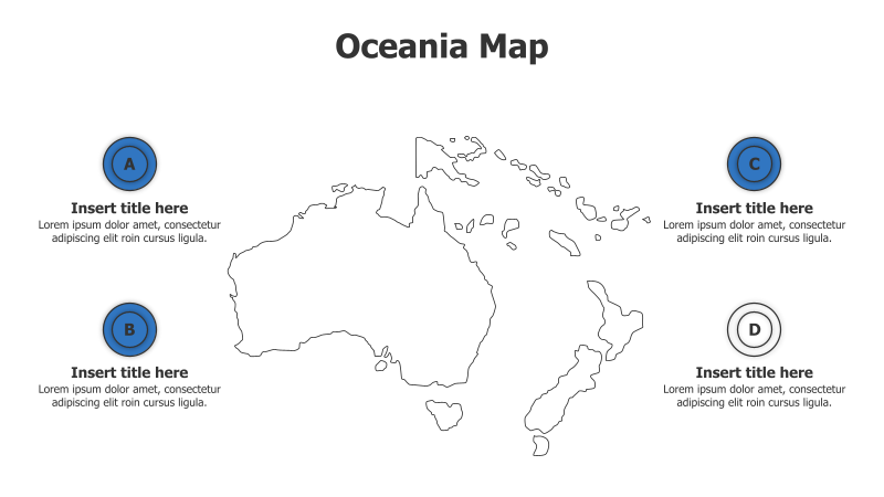
4-Point Oceania Map Infographic
This template presents an Oceania map with four surrounding points for detailed information.
Layout & Structure:
- The template features a map of Oceania as the central element.
- Four circular points (labeled A, B, C, and D) are positioned around the map, providing space for titles and descriptions.
- The layout is designed for highlighting regional data or information related to specific areas within Oceania.
Style:
- The design employs a clean and modern aesthetic with a light color palette.
- The map is a simple outline, focusing on geographical shapes.
- The circular points are a solid blue color, providing a clear visual contrast.
Use Cases:
- Presenting regional statistics for Oceania countries.
- Highlighting key industries or economic activities in different parts of Oceania.
- Illustrating travel routes or tourism destinations within Oceania.
- Showcasing environmental data or conservation efforts across Oceania.
Key Features:
- Fully customizable map and point elements.
- Clear visual hierarchy for easy understanding.
- Professional and modern design.
- Suitable for a variety of data presentation needs.
Tags:
oceaniamapinfographic4 pointsregionalgeographydata visualizationoutlinetravelstatistics
Ready to Get Started?
Impress your audience and streamline your workflow with GraphiSlides!
Install Free Add-onNo credit card required for free plan.