4 Points Outline Peru Map Infographic
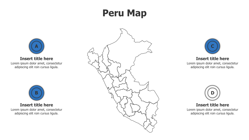
This template features a map of Peru with four highlighted points for presenting regional data or information.
Layout & Structure:
- The template centers around a detailed outline map of Peru.
- Four circular points (A, B, C, D) are positioned around the map, providing space for titles and descriptions.
- The layout is clean and balanced, allowing for easy visual comprehension.
Style:
- The design employs a minimalist aesthetic with a light blue background and dark gray map outline.
- The circular points use a consistent blue color scheme.
- The overall style is professional and suitable for business or educational presentations.
Use Cases:
- Presenting regional sales data for Peru.
- Highlighting key tourist destinations within different regions.
- Illustrating the distribution of resources or industries across Peru.
- Showcasing project locations or initiatives in various parts of the country.
Key Features:
- Fully customizable map and text elements.
- Clear visual separation of information points.
- Professional and modern design.
- Easy to understand and visually appealing.
Tags:
perumapinfographicregionspointsoutlinegeographydatapresentationbusinesstravellocation
Ready to Get Started?
Impress your audience and streamline your workflow with GraphiSlides!
Install Free Add-onNo credit card required for free plan.