4 Points Outline Bangladesh Map Infographic
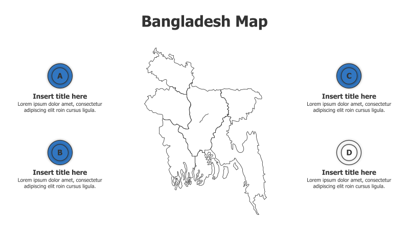
This template features a map of Bangladesh with four highlighted points for presenting information.
Layout & Structure:
- The template centers around an outline map of Bangladesh.
- Four circular points (labeled A, B, C, and D) are positioned around the map, providing spaces for titles and descriptions.
- The layout is designed for showcasing regional data or highlighting specific areas within Bangladesh.
Style:
- The template utilizes a clean, minimalist aesthetic with a light blue and white color scheme.
- The map is presented as a simple outline, avoiding excessive detail.
- The circular points are a solid blue color, providing a clear visual contrast.
Use Cases:
- Presenting regional statistics for Bangladesh.
- Highlighting key cities or districts within the country.
- Illustrating the geographical distribution of a particular phenomenon.
- Showcasing project locations or areas of operation.
Key Features:
- Clear and concise visual representation of Bangladesh.
- Four distinct points for focused information delivery.
- Fully customizable text and colors.
- Suitable for a variety of data visualization purposes.
Tags:
bangladeshmapinfographicregionalgeographypointsoutlinedata visualizationpresentationminimalistlocation
Ready to Get Started?
Impress your audience and streamline your workflow with GraphiSlides!
Install Free Add-onNo credit card required for free plan.