Wales Map Template
This template features a map of Wales with key locations highlighted.
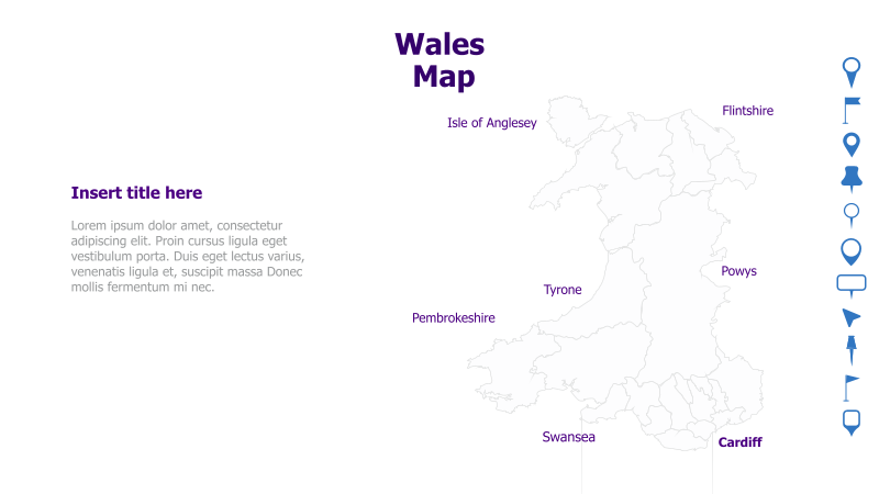
Layout & Structure: The template displays a map of Wales with several counties labeled: Isle of Anglesey, Flintshire, Powys, Tyrone, Pembrokeshire, Swansea, and Cardiff. It includes a text area on the left for a title and content, and a vertical bar of icons on the right. The map occupies the right half of the slide.
Style: The template utilizes a minimalist style with a white background and thin, grey lines for the map borders. The county names are in a simple, readable font. The color scheme is muted, with a purple accent for Cardiff. The overall aesthetic is clean and professional.
Use Cases:
- Geographical presentations about Wales.
- Illustrating regional data or statistics.
- Tourism or travel-related presentations.
- Business presentations focusing on locations within Wales.
- Educational materials about Welsh geography.
Key Features:
- Clear map of Wales with labeled counties.
- Space for descriptive text and a title.
- Clean and professional design.
- Easily customizable with location-specific information.
Tags:
Ready to Get Started?
Impress your audience and streamline your workflow with GraphiSlides!
Install Free Add-onNo credit card required for free plan.