Northern Ireland Map Template
This template features a map of Northern Ireland, ideal for presentations focusing on the region.
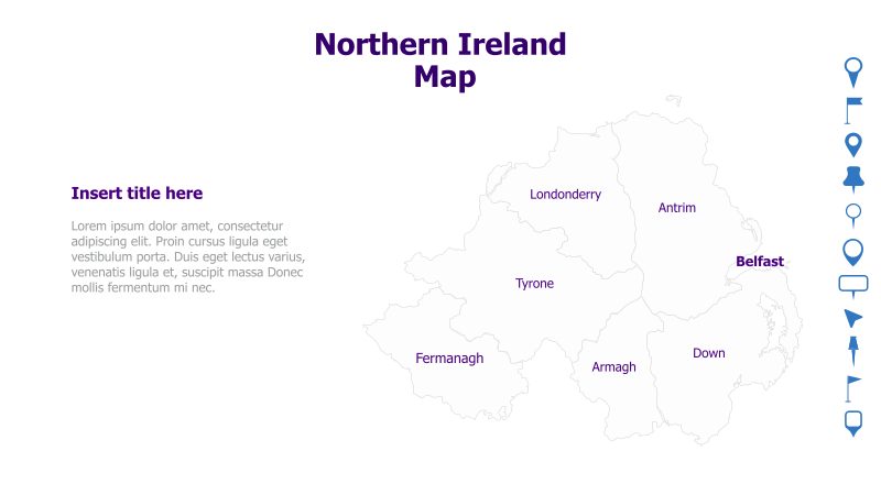
Layout & Structure: The template displays a map of Northern Ireland with its six counties (Antrim, Armagh, Down, Fermanagh, Londonderry, and Tyrone) clearly labeled. Belfast is also marked as a key location. The map is positioned on the right side of the slide, with a text area on the left for titles and content.
Style: The template utilizes a minimalist style with a light gray map outline and simple text labels. The overall aesthetic is clean and professional, suitable for a variety of presentations.
Use Cases:
- Geographic presentations about Northern Ireland.
- Business reports focusing on the region's economy.
- Educational materials about Northern Ireland's geography and counties.
- Travel or tourism presentations.
- Political or historical presentations related to Northern Ireland.
Key Features:
- Clear and accurate map of Northern Ireland.
- Labeled counties and key city (Belfast).
- Minimalist and professional design.
- Easy to customize with your own content.
Tags:
northern irelandmapgeographycountiesbelfastirelandukregionlocationminimalistprofessional
Ready to Get Started?
Impress your audience and streamline your workflow with GraphiSlides!
Install Free Add-onNo credit card required for free plan.