West Virginia Map Template
This template features a map of West Virginia, suitable for presentations focusing on the state's geography, demographics, or related data.
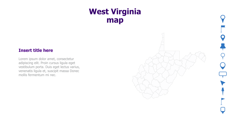
Layout & Structure: The slide is divided into two main sections. The left side contains a title area and a text placeholder, while the right side prominently displays an outline map of West Virginia. The layout is clean and straightforward, allowing for easy integration of content.
Style: The template employs a minimalist aesthetic with a white background and a simple, outlined map. The color scheme is neutral, using a dark purple for the title and icons. This creates a professional and uncluttered look.
Use Cases:
- Presenting data related to West Virginia (e.g., population density, economic indicators).
- Illustrating geographical locations within the state.
- Highlighting specific regions or counties.
- Creating reports or presentations about West Virginia's history, culture, or tourism.
- Educational purposes, such as geography lessons.
Key Features:
- Clear and concise map visualization.
- Easy-to-customize text placeholders.
- Professional and minimalist design.
- Suitable for a variety of presentation topics.
- Clean and uncluttered layout.
Tags:
Ready to Get Started?
Impress your audience and streamline your workflow with GraphiSlides!
Install Free Add-onNo credit card required for free plan.