Vermont Map Template
This template features a map of Vermont, ideal for presentations focusing on the state's geography, demographics, or regional data.
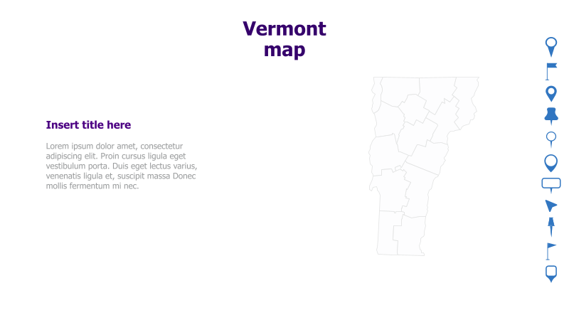
Layout & Structure: The slide is divided into two main sections. The right side prominently displays an outline map of Vermont, divided into its counties. The left side provides space for a title and supporting text. The layout is clean and straightforward, emphasizing the map as the central visual element.
Style: The template utilizes a minimalist aesthetic with a light blue color scheme. The map outline is a simple, light gray, providing a subtle visual without being distracting. The overall style is professional and uncluttered.
Use Cases:
- Presenting data specific to Vermont counties.
- Illustrating regional differences within the state.
- Geographic analysis and reporting.
- Educational presentations about Vermont.
- Business presentations targeting the Vermont market.
Key Features:
- Clear and accurate map of Vermont.
- Simple and professional design.
- Easy to customize with your own data and text.
- Visually appealing and engaging.
Tags:
Ready to Get Started?
Impress your audience and streamline your workflow with GraphiSlides!
Install Free Add-onNo credit card required for free plan.