New York State Map Template
This template features a map of New York State, ideal for presentations focusing on the state's geography, demographics, or regional data.
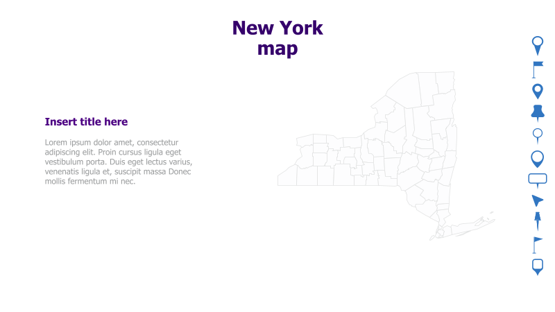
Layout & Structure: The slide is divided into two main sections: a text area on the left and a map of New York State on the right. The text area includes a placeholder for a title and a block of sample text. The map is an outline of the state, showing county boundaries.
Style: The template has a clean and minimalist aesthetic. The map is rendered as a simple outline, and the color scheme is neutral. The overall style is professional and suitable for a wide range of presentations.
Use Cases:
- Presenting regional data for New York State.
- Illustrating geographic locations within the state.
- Highlighting key areas or cities in New York.
- Creating presentations about New York's economy, tourism, or culture.
- Visualizing demographic information by county.
Key Features:
- Clear and concise map of New York State.
- Dedicated space for title and supporting text.
- Clean and professional design.
- Fully customizable map and text elements.
Tags:
Ready to Get Started?
Impress your audience and streamline your workflow with GraphiSlides!
Install Free Add-onNo credit card required for free plan.