Uganda Map Template
This template features a map of Uganda, ideal for presentations focusing on the country's geography, regions, or related data.
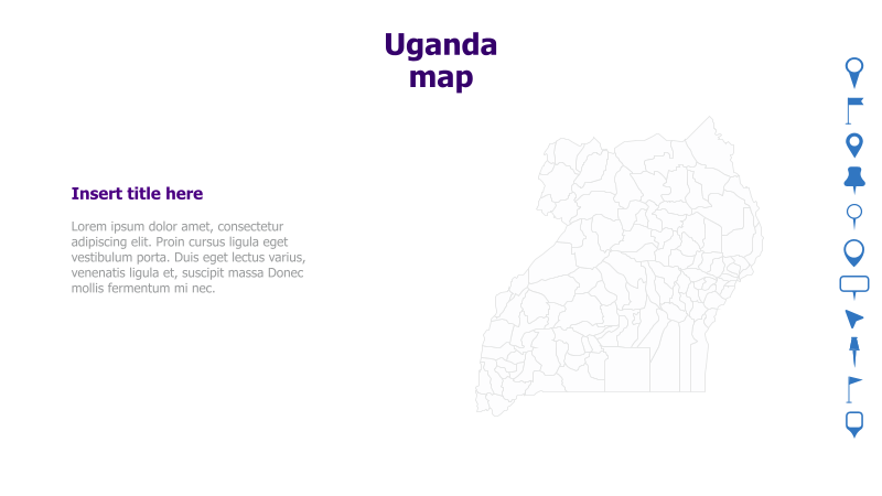
Layout & Structure: The slide is divided into two main sections: a large map of Uganda on the right and a text area on the left. The map displays the country's districts with clear boundaries. The text area provides space for a title and supporting content.
Style: The template utilizes a clean and minimalist style with a light color palette. The map is rendered as a simple outline, providing a professional and uncluttered look. The overall aesthetic is modern and informative.
Use Cases:
- Presenting regional data for Uganda.
- Illustrating geographical aspects of projects or initiatives within Uganda.
- Highlighting key locations or districts within the country.
- Creating reports or presentations on Ugandan demographics or infrastructure.
- Educational purposes, such as geography lessons.
Key Features:
- Clear and detailed map of Uganda.
- Dedicated space for title and content.
- Clean and professional design.
- Fully customizable colors and text.
- Suitable for a wide range of presentations.
Tags:
ugandamapgeographyafricadistrictsregionspresentationtemplateminimalistcleandata visualization
Ready to Get Started?
Impress your audience and streamline your workflow with GraphiSlides!
Install Free Add-onNo credit card required for free plan.