Central Africa Republic Map
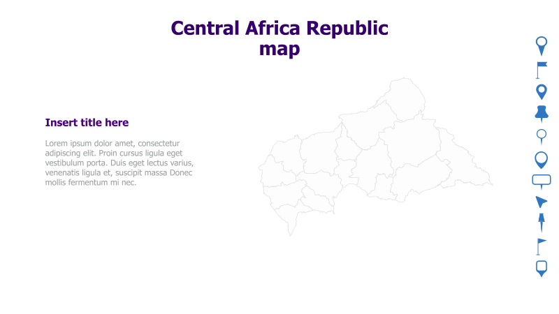
This slide features a map of the Central Africa Republic, suitable for presentations focusing on the region.
Layout & Structure:
- The slide is divided into two main sections: a text area on the left and a map illustration on the right.
- The map is a grayscale outline of the Central Africa Republic, showing its administrative divisions.
- A title and placeholder text are provided on the left side for context and information.
Style:
- The slide has a clean and minimalist aesthetic with a white background.
- The map is rendered as a simple line drawing, providing a clear geographical representation.
- The color scheme is neutral, allowing for easy customization.
Use Cases:
- Geopolitical presentations.
- Reports on Central African Republic.
- Educational materials about African geography.
- Presentations on regional development or challenges.
- Illustrating logistical or operational areas within the country.
Key Features:
- Clear and accurate map illustration.
- Simple and professional design.
- Easy to customize with relevant information.
- Suitable for a variety of presentation topics.
Tags:
central africa republicmapafricageographypoliticalregioncountryoutlinegray scalepresentationreport
Ready to Get Started?
Impress your audience and streamline your workflow with GraphiSlides!
Install Free Add-onNo credit card required for free plan.