Angola Map Template
This template features a map of Angola, suitable for presentations focusing on the country's geography, demographics, or related topics.
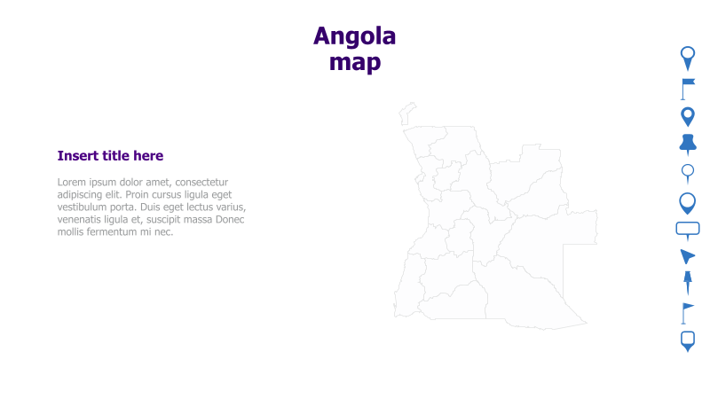
Layout & Structure: The slide is divided into two main sections: a text area on the left and a map of Angola on the right. The text area includes a placeholder for a title and sample lorem ipsum text. The map is a simple outline of Angola's borders.
Style: The template utilizes a clean and minimalist style with a light color palette. The map is presented as a simple line drawing, providing a neutral backdrop for adding data or annotations. The overall aesthetic is professional and informative.
Use Cases:
- Presenting geographical data related to Angola.
- Illustrating business operations or market presence in Angola.
- Educational presentations about Angola's regions and provinces.
- Reports on infrastructure projects or development initiatives in Angola.
- Visualizing demographic or statistical information related to Angola.
Key Features:
- Clear and concise map of Angola.
- Dedicated space for title and supporting text.
- Clean and professional design.
- Easily customizable map and text elements.
Tags:
Ready to Get Started?
Impress your audience and streamline your workflow with GraphiSlides!
Install Free Add-onNo credit card required for free plan.