France Departments Map
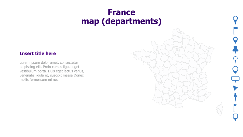
This slide features a map of France delineated by its administrative departments. It's designed for presentations requiring geographical context related to France.
Layout & Structure: The slide is divided into two main sections. The left side contains a text area for a title and supporting content, while the right side prominently displays a detailed outline map of France, showing its departmental boundaries. The layout is clean and straightforward, prioritizing the visual impact of the map.
Style: The template employs a minimalist aesthetic with a light background and simple line art for the map. The color scheme is neutral, focusing on clarity and readability. The overall style is professional and suitable for a wide range of presentations.
Use Cases:
- Presenting regional data for France.
- Illustrating geographical distribution of products or services.
- Highlighting specific departments for analysis.
- Visualizing sales territories or market coverage.
- Demonstrating logistical networks within France.
Key Features:
- Clear and detailed map of France.
- Dedicated space for title and supporting text.
- Clean and professional design.
- Fully customizable map and text elements.
Tags:
Ready to Get Started?
Impress your audience and streamline your workflow with GraphiSlides!
Install Free Add-onNo credit card required for free plan.