Venezuela Map with State Names
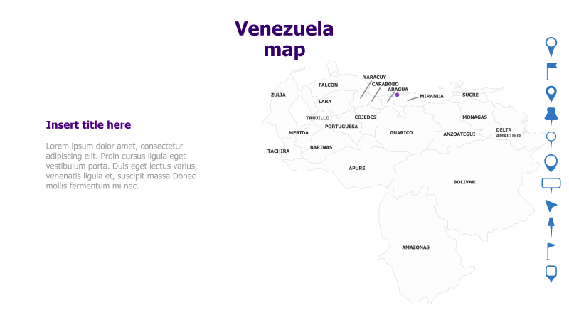
This template features a map of Venezuela with its states clearly labeled. It's designed for presentations requiring geographical context related to the country.
Layout & Structure: The template displays a map of Venezuela as the primary visual element. State names are directly labeled on the map. A text placeholder is provided on the left side for a title and supporting content. The map occupies the majority of the slide space.
Style: The template employs a clean and modern aesthetic with a light color palette. The map itself is rendered in a neutral tone, allowing the state names to stand out. The overall design is professional and suitable for a variety of presentations.
Use Cases:
- Geopolitical analysis of Venezuela
- Presenting regional data or statistics
- Educational materials about Venezuelan geography
- Business presentations focusing on specific regions within Venezuela
- Travel or tourism presentations highlighting different states
Key Features:
- Clear and accurate map of Venezuela
- Easily readable state labels
- Space for title and supporting text
- Professional and modern design
- Fully customizable colors and text
Tags:
Ready to Get Started?
Impress your audience and streamline your workflow with GraphiSlides!
Install Free Add-onNo credit card required for free plan.