Dominican Republic Map Template
This template features a map of the Dominican Republic, ideal for presentations focusing on the country's geography, tourism, or regional data.
Layout & Structure:
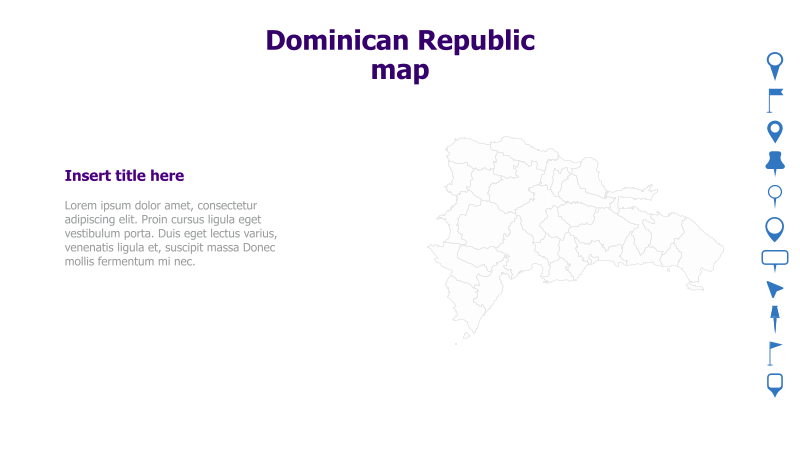
- The slide is divided into two main sections: a text area on the left and a map illustration on the right.
- The map is a simple outline of the Dominican Republic, providing a clear visual representation of the country's shape and location.
- A title area is provided above the map, and a placeholder for text is on the left.
Style:
- The template utilizes a clean and minimalist design with a light color palette.
- The map is presented as a simple line drawing, avoiding excessive detail or visual clutter.
- The overall aesthetic is professional and suitable for a variety of presentation topics.
Use Cases:
- Presenting geographical information about the Dominican Republic.
- Highlighting tourist destinations within the country.
- Illustrating regional data or statistics.
- Creating presentations about the Dominican Republic's economy or culture.
- Educational presentations about Caribbean geography.
Key Features:
- Clear and concise map illustration.
- Simple and professional design.
- Fully customizable text areas.
- Easy to integrate with other presentation content.
Tags:
dominican republicmapgeographycaribbeantraveltourismregionaloutlineminimalistpresentationtemplate
Ready to Get Started?
Impress your audience and streamline your workflow with GraphiSlides!
Install Free Add-onNo credit card required for free plan.