Guatemala Map Template
This template features a map of Guatemala, ideal for presentations focusing on the country's geography, regions, or related data.
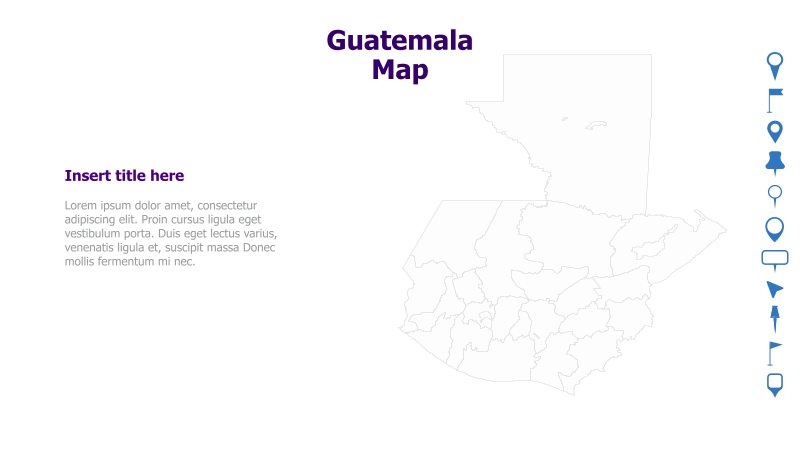
Layout & Structure: The slide is divided into two main sections: a large map of Guatemala on the right and a text area on the left. The map is a simple outline, allowing for easy annotation or highlighting of specific areas. The text area includes a placeholder title and sample text.
Style: The template utilizes a clean and minimalist style with a light color palette. The map outline is a subtle gray, and the text is in a standard font. The overall aesthetic is professional and uncluttered.
Use Cases:
- Presenting geographical data related to Guatemala.
- Illustrating regional differences within the country.
- Highlighting key locations or points of interest.
- Supporting presentations on Guatemalan history, culture, or economy.
- Visualizing logistical or distribution networks within Guatemala.
Key Features:
- Clear and concise map outline.
- Dedicated space for text and supporting information.
- Clean and professional design.
- Fully customizable map and text elements.
Tags:
Ready to Get Started?
Impress your audience and streamline your workflow with GraphiSlides!
Install Free Add-onNo credit card required for free plan.