Belgium Map
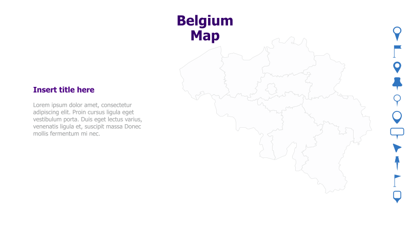
This slide template features a map of Belgium, suitable for presentations focusing on the country's geography, regions, or related data.
Layout & Structure:
- The slide is divided into two main sections: a large, outlined map of Belgium on the right and a text area on the left.
- The map provides a clear visual representation of the country's borders and regions.
- The text area is designed for a title and supporting content.
Style:
- The template utilizes a clean and minimalist aesthetic with a light color palette.
- The map outline is a simple gray line, providing a subtle visual element.
- The overall design is professional and easy to read.
Use Cases:
- Presenting data related to Belgian regions (e.g., sales figures, population density).
- Illustrating logistical operations within Belgium.
- Highlighting key cities or landmarks.
- Geographic context for business reports or academic presentations.
Key Features:
- Clear and recognizable map of Belgium.
- Dedicated space for title and supporting text.
- Clean and professional design.
- Easily customizable map colors and labels.
Tags:
belgiummapgeographyregionscountryeuropelocationoutlineminimalistpresentationdata visualization
Ready to Get Started?
Impress your audience and streamline your workflow with GraphiSlides!
Install Free Add-onNo credit card required for free plan.