Mexico Map with State Names
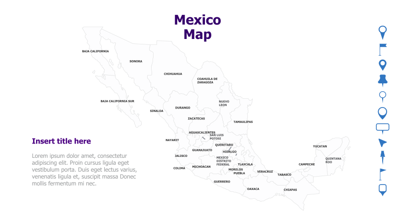
This template features a map of Mexico with each state clearly labeled. It's designed for presentations requiring geographical context related to Mexico.
Layout & Structure: The template prominently displays a map of Mexico, filling the majority of the slide. State names are directly labeled on the map. A text box is provided on the left side for a title and supporting text. The overall structure is simple and focused on the map itself.
Style: The map utilizes a muted color palette, providing a clean and professional aesthetic. The state boundaries are clearly defined, and the typography is legible. The design is minimalist, avoiding excessive visual clutter.
Use Cases:
- Presenting regional data for Mexico.
- Illustrating geographical distribution of products or services.
- Highlighting specific states for business opportunities.
- Educational presentations about Mexican geography.
- Political or demographic analysis of Mexico.
Key Features:
- Clear and accurate map of Mexico.
- Easily customizable state labels.
- Space for title and descriptive text.
- Professional and clean design.
- Suitable for a wide range of presentation topics.
Tags:
Ready to Get Started?
Impress your audience and streamline your workflow with GraphiSlides!
Install Free Add-onNo credit card required for free plan.