10-Point Earth Map Infographic
This template presents information across ten distinct points, visually anchored to a stylized earth map. It's ideal for showcasing global data or interconnected concepts.
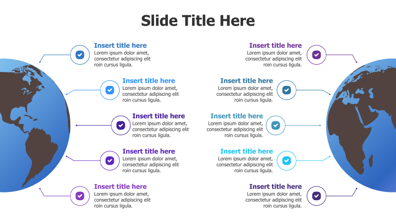
Layout & Structure: The template features a central image of the Earth, surrounded by ten circular points arranged in a roughly circular pattern. Each point contains a title placeholder and a text area for detailed descriptions. The points are connected to the central Earth image via curved lines, suggesting a global reach or interconnectedness.
Style: The design incorporates a 3D effect on the circular points, with subtle shadows to enhance depth. The color scheme is predominantly blue and white, creating a professional and clean aesthetic. The Earth image adds a visual element of global scope.
Use Cases:
- Presenting global market analysis.
- Illustrating international project phases.
- Highlighting key regions for business expansion.
- Showcasing worldwide impact of initiatives.
- Displaying data related to different countries or continents.
Key Features:
- Visually engaging 3D design.
- Clear and organized layout.
- Fully customizable text and colors.
- Suitable for a wide range of global topics.
- Easy to understand and interpret.
Tags:
Ready to Get Started?
Impress your audience and streamline your workflow with GraphiSlides!
Install Free Add-onNo credit card required for free plan.