4 Points Outline Canada Map Infographic
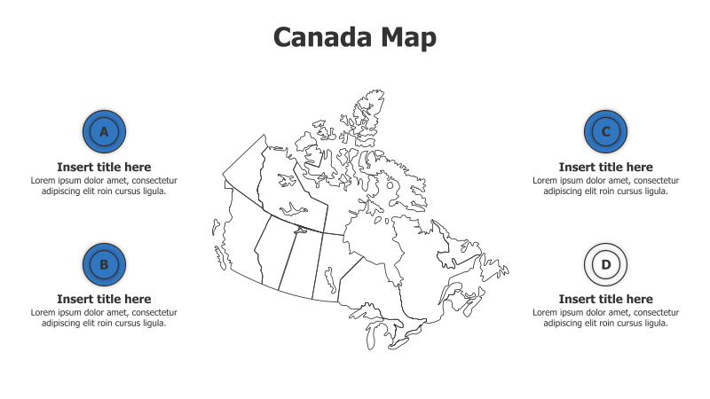
This template features a map of Canada with four highlighted areas for presenting information.
Layout & Structure:
- The slide is centered around an outline map of Canada.
- Four circular points (A, B, C, and D) are positioned around the map, two on the left and two on the right.
- Each point has a placeholder for a title and descriptive text.
- The layout is designed for geographically-focused data presentation.
Style:
- The template uses a clean, minimalist style with a light blue background.
- The map is a simple black outline, providing a neutral backdrop for the highlighted areas.
- The circular points are a solid blue color, offering a clear visual contrast.
- The overall aesthetic is professional and informative.
Use Cases:
- Presenting regional data for Canada (e.g., sales figures, population statistics).
- Highlighting key locations or projects across different provinces.
- Illustrating geographical trends or patterns.
- Showcasing regional marketing strategies.
Key Features:
- Clear geographical focus with the Canada map.
- Four distinct points for detailed information.
- Clean and professional design.
- Fully customizable text and colors.
Tags:
canadamapinfographicregionalgeographypointsoutlinedatapresentationbusinessmarketing
Ready to Get Started?
Impress your audience and streamline your workflow with GraphiSlides!
Install Free Add-onNo credit card required for free plan.