European Union Flags and Map
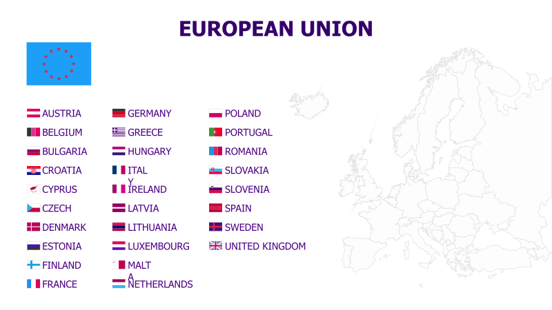
This template visually represents the member states of the European Union. It combines flags and a geographical map for a clear and informative presentation.
Layout & Structure:
- The template features a list of EU member states alongside their respective flags.
- A map of Europe is displayed to the right, visually indicating the geographical location of each member state.
- The layout is divided into two main sections: a flag/country list on the left and a map on the right.
Style:
- The design is clean and professional, utilizing a simple color palette.
- Flags are displayed in a consistent size and format.
- The map uses clear outlines to delineate country borders.
- The overall aesthetic is informative and visually appealing.
Use Cases:
- Educational presentations about the European Union.
- Reports on EU member states and their demographics.
- Geopolitical analyses and discussions.
- Visual aids for international relations courses.
- Presentations on European trade and economics.
Key Features:
- Clear visual representation of EU member states.
- Combines flags and a map for comprehensive information.
- Easy-to-understand layout.
- Professional and informative design.
Tags:
european unioneuflagsmapeuropemember statesgeographypoliticsinternational relationscountriesvisual aideducation
Ready to Get Started?
Impress your audience and streamline your workflow with GraphiSlides!
Install Free Add-onNo credit card required for free plan.