Lebanon Map Template
This template features a map of Lebanon, ideal for presentations focusing on the country's geography, demographics, or related topics.
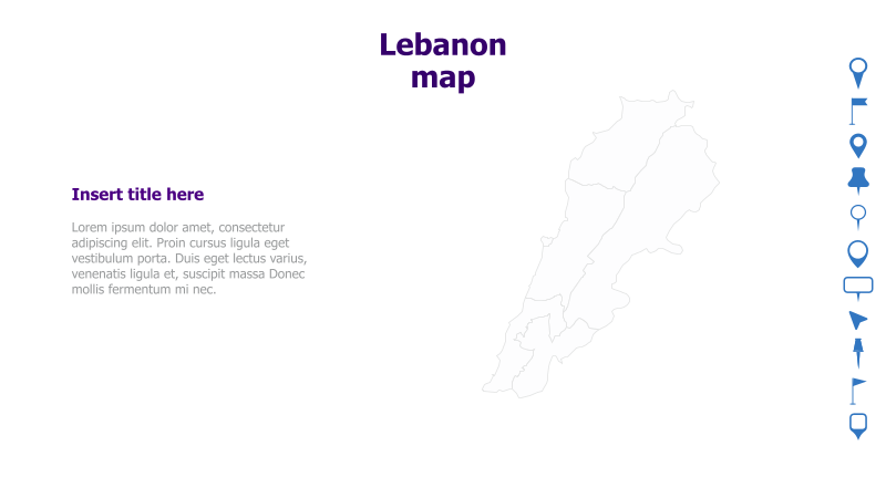
Layout & Structure: The slide is divided into two main sections: a large, outlined map of Lebanon on the right and a text area on the left. The text area includes a placeholder for a title and a block of sample lorem ipsum text. The layout is clean and straightforward, emphasizing the map as the central visual element.
Style: The template employs a minimalist style with a light gray outline for the map and a simple color scheme. The overall aesthetic is professional and uncluttered, suitable for a variety of presentations. The use of a neutral color palette ensures the map remains the focal point.
Use Cases:
- Geopolitical presentations about Lebanon.
- Reports on regional studies or analyses.
- Presentations on Lebanese history, culture, or economy.
- Educational materials about Middle Eastern geography.
- Business presentations targeting the Lebanese market.
Key Features:
- Clear and recognizable map of Lebanon.
- Dedicated space for title and supporting text.
- Clean and professional design.
- Fully customizable elements.
- Easy to integrate into various presentation themes.
Tags:
Ready to Get Started?
Impress your audience and streamline your workflow with GraphiSlides!
Install Free Add-onNo credit card required for free plan.