France Map with Regions
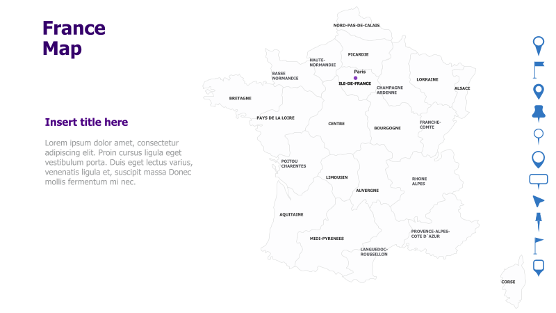
This template presents a map of France, highlighting its administrative regions.
Layout & Structure: The template features a map of France with its regions clearly delineated. A prominent marker indicates the location of Paris. There's space for a title and descriptive text to the left of the map. The right side includes a vertical column of icons.
Style: The map utilizes a muted color palette with light beige regions and darker outlines. The overall aesthetic is clean and professional, suitable for presentations requiring a geographical context. The icons on the right are simple and modern.
Use Cases:
- Geographical analysis and reporting.
- Presenting regional data or statistics.
- Illustrating travel routes or tourism information.
- Business presentations focusing on French markets.
- Educational materials about French geography.
Key Features:
- Clear and accurate map of France.
- Highlighted regions for easy identification.
- Space for custom title and description.
- Modern and professional design.
- Includes a set of icons for visual enhancement.
Tags:
francemapregionsgeographytravelbusinesspresentationadministrativeparislocationicons
Ready to Get Started?
Impress your audience and streamline your workflow with GraphiSlides!
Install Free Add-onNo credit card required for free plan.