Canada Map with City Markers
This slide template features a map of Canada with key cities marked.
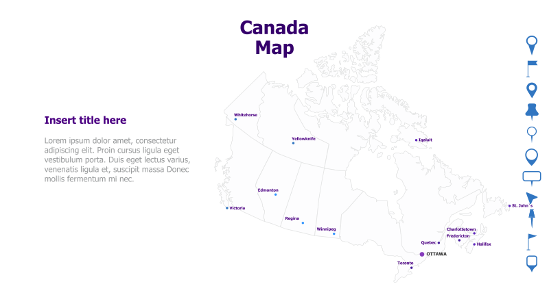
Layout & Structure: The template displays a detailed outline map of Canada. Several major Canadian cities are indicated with marker points and labels: Whitehorse, Yellowknife, Iqaluit, Edmonton, Victoria, Regina, Winnipeg, Toronto, Ottawa, Quebec, Halifax, Charlottetown, Fredericton, and St. John's. There is a text placeholder on the left side for a title and supporting content.
Style: The map utilizes a clean, minimalist aesthetic with a light-colored outline. The city markers are simple dots with clear labels. The overall design is professional and informative.
Use Cases:
- Geographic data presentation
- Regional analysis and reporting
- Illustrating Canadian locations for business or educational purposes
- Mapping distribution networks or service areas
- Presenting travel or tourism information
Key Features:
- Clear and detailed map of Canada
- Prominent city markers for easy identification
- Clean and professional design
- Editable text placeholder for customization
Tags:
Ready to Get Started?
Impress your audience and streamline your workflow with GraphiSlides!
Install Free Add-onNo credit card required for free plan.