Saudi Arabia Map with Provinces
This template features a map of Saudi Arabia, divided into its provinces. It's ideal for presentations focusing on regional data, business operations within Saudi Arabia, or geographical analysis.
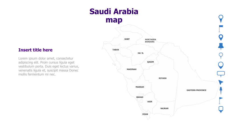
Layout & Structure: The template displays a map of Saudi Arabia with each province clearly labeled. A text area is provided on the left for a title and supporting content. The map occupies the right side of the slide, providing a strong visual anchor.
Style: The template utilizes a clean, minimalist style with a light color palette. The map is rendered in a simple, flat design with clear province boundaries. The overall aesthetic is professional and informative.
Use Cases:
- Presenting regional sales data for Saudi Arabia.
- Illustrating the geographical distribution of projects or clients.
- Highlighting key infrastructure or resources in different provinces.
- Providing a visual context for discussions about Saudi Arabian business or politics.
- Educational presentations about the geography of Saudi Arabia.
Key Features:
- Clear and accurate map of Saudi Arabia.
- Labeled provinces for easy identification.
- Space for title and supporting text.
- Clean and professional design.
- Fully customizable colors and text.
Tags:
Ready to Get Started?
Impress your audience and streamline your workflow with GraphiSlides!
Install Free Add-onNo credit card required for free plan.