Germany Map with State Names
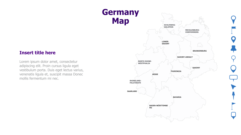
This slide features a map of Germany, highlighting its constituent states.
Layout & Structure: The slide is divided into two main sections: a large map of Germany occupying the right side and a text area on the left. The map clearly delineates the borders of each German state, with their names labeled. The left side includes a title placeholder and a block of placeholder text.
Style: The map utilizes a clean, minimalist style with a neutral color palette. State boundaries are clearly defined, and the overall aesthetic is professional and informative. The design is suitable for presentations requiring a geographical context.
Use Cases:
- Presenting regional data for Germany.
- Illustrating geographical distribution of products or services.
- Highlighting specific states for business analysis.
- Educational presentations about German geography.
- Visualizing logistical or transportation networks within Germany.
Key Features:
- Clear and accurate map of Germany.
- Labeled state names for easy identification.
- Space for title and supporting text.
- Clean and professional design.
- Fully customizable map and text elements.
Tags:
Ready to Get Started?
Impress your audience and streamline your workflow with GraphiSlides!
Install Free Add-onNo credit card required for free plan.