USA Map with State Capitals
This template presents a map of the United States of America, highlighting the capital city of each state.
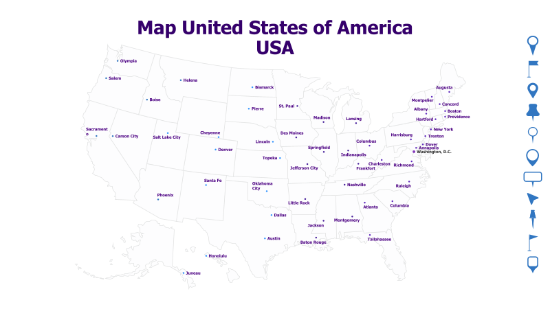
Layout & Structure: The template features a detailed outline map of the contiguous United States, as well as Alaska and Hawaii. Each state is clearly delineated, and a marker indicates the location of its capital city, labeled with the city's name. The map is presented in a clean, uncluttered style.
Style: The map utilizes a minimalist aesthetic with a simple color scheme (white map on a white background with black text). The style is professional and informative, suitable for educational or business presentations. The markers are simple and unobtrusive.
Use Cases:
- Geography lessons and educational presentations.
- Presenting data related to state-level information.
- Illustrating regional differences or comparisons.
- Business presentations focusing on national coverage or expansion.
- Travel or tourism-related presentations.
Key Features:
- Clear and accurate representation of US states and capitals.
- Simple and professional design.
- Easy to read and understand.
- Suitable for a wide range of presentation topics.
Tags:
Ready to Get Started?
Impress your audience and streamline your workflow with GraphiSlides!
Install Free Add-onNo credit card required for free plan.