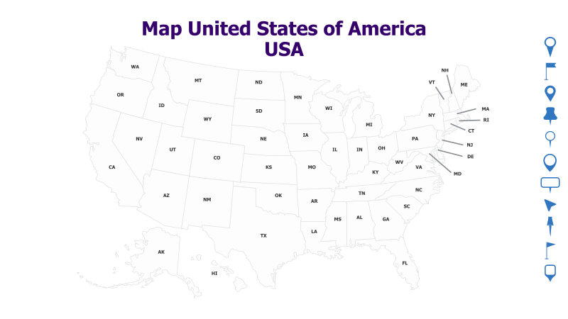
USA Map with State Abbreviations
This template presents a clear and concise map of the United States of America, featuring each state labeled with its standard two-letter abbreviation.
Layout & Structure:
- The template displays a geographical map of the contiguous United States, along with Alaska and Hawaii.
- Each state is clearly outlined and labeled with its corresponding two-letter abbreviation.
- The map provides a visual representation of the USA's geography and state locations.
Style:
- The map utilizes a minimalist design with clean lines and a neutral color palette.
- The state abbreviations are presented in a clear, readable font.
- The overall aesthetic is professional and informative.
Use Cases:
- Educational presentations about US geography.
- Business presentations highlighting regional data or operations.
- Travel planning and route visualization.
- Reports and analyses focusing on US states.
- Visual aids for quizzes or games related to US states.
Key Features:
- Accurate and up-to-date state boundaries.
- Clear and legible state abbreviations.
- Simple and uncluttered design.
- Versatile for various presentation topics.
Tags:
usamapunited statesstatesgeographyabbreviationsamericaregionstraveleducationbusiness
Ready to Get Started?
Impress your audience and streamline your workflow with GraphiSlides!
Install Free Add-onNo credit card required for free plan.